REDD+
Publicado em
17/03/2025 11h36
Atualizado em
22/09/2025 09h55

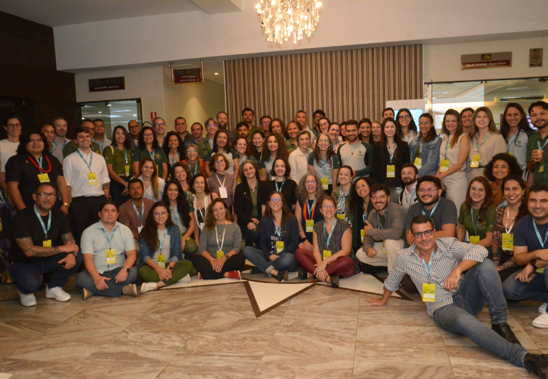
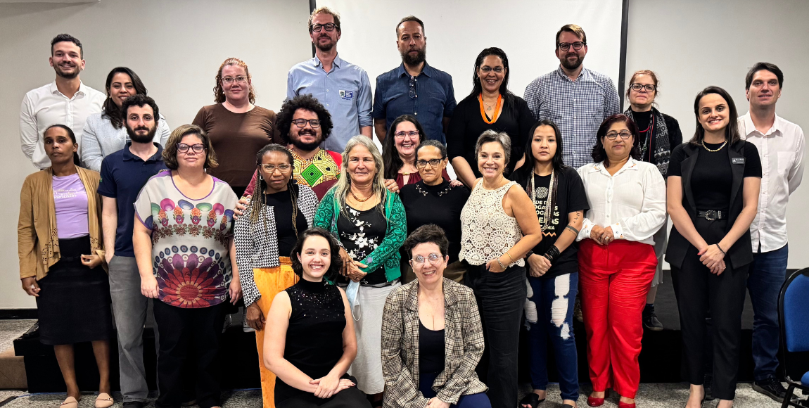
MMA promove capacitação sobre REDD+ para servidores da Funai e ICMBio
Encontro teve como foco o fortalecimento de capacidades institucionais relacionadas à emergência climática, ao REDD+ e ao mercado voluntário de carbono florestal
Saiba mais sobre MMA promove capacitação sobre REDD+ para servidores da Funai e ICMBio

MMA promove oficina sobre implementação de programas jurisdicionais de REDD+
Atividade impulsionou alinhamento técnico e jurídico sobre desafios para acessar financiamento climático
Saiba mais sobre MMA promove oficina sobre implementação de programas jurisdicionais de REDD+
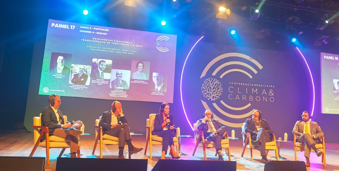
MMA debateu regulamentação do mercado de carbono florestal durante conferência em São Paulo
Evento abordou a Lei 15.042/2024 e destacou avanços na governança climática e nas ações de REDD+ no Brasil
Saiba mais sobre MMA debateu regulamentação do mercado de carbono florestal durante conferência em São Paulo
Comissão Nacional para a REDD+ aprova diretrizes para programas em terras públicas e territórios coletivos
Resolução estabelece salvaguardas que garantem proteção das comunidades na implementação de projetos de REDD+ e créditos de carbono florestal
Saiba mais sobre Comissão Nacional para a REDD+ aprova diretrizes para programas em terras públicas e territórios coletivos
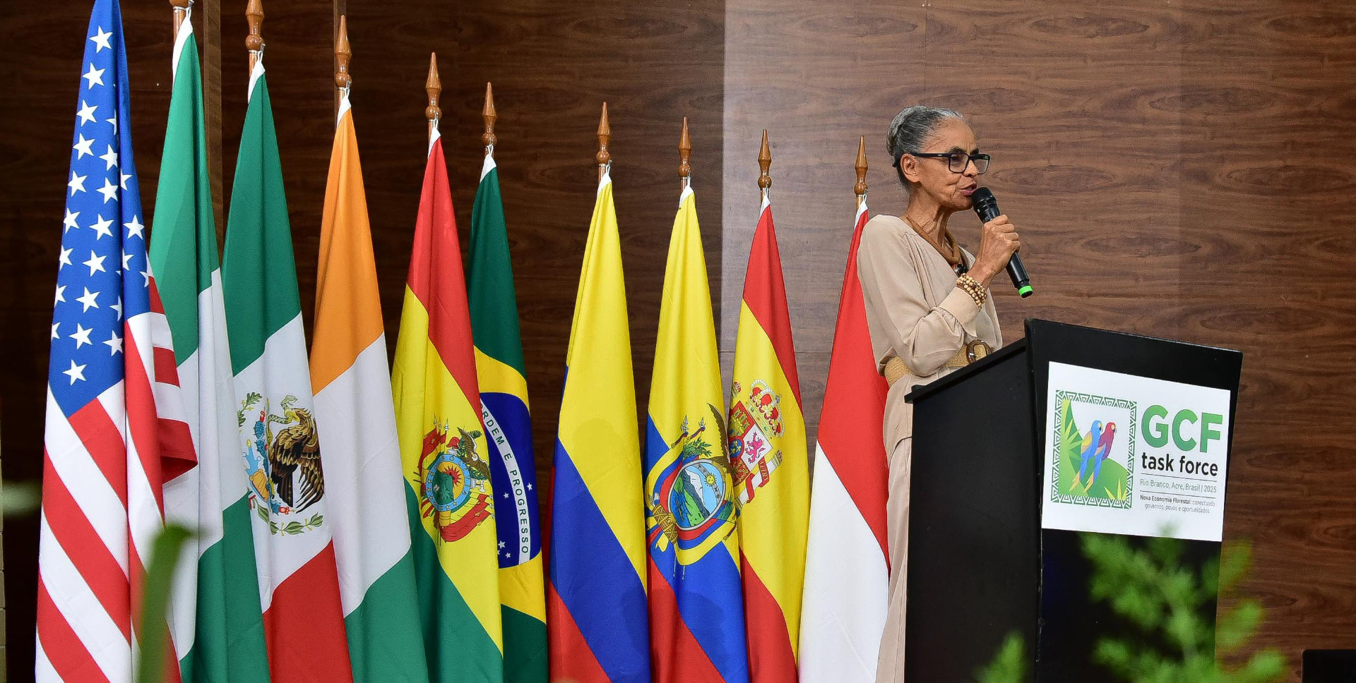
Em evento com governadores brasileiros e estrangeiros, Marina defende ampliação do financiamento para proteção das florestas
Foram anunciados investimentos dos Fundos Clima e Amazônia em processamento de madeira do manejo florestal sustentável e em produção sustentável para alimentação escolar
Saiba mais sobre Em evento com governadores brasileiros e estrangeiros, Marina defende ampliação do financiamento para proteção das florestas
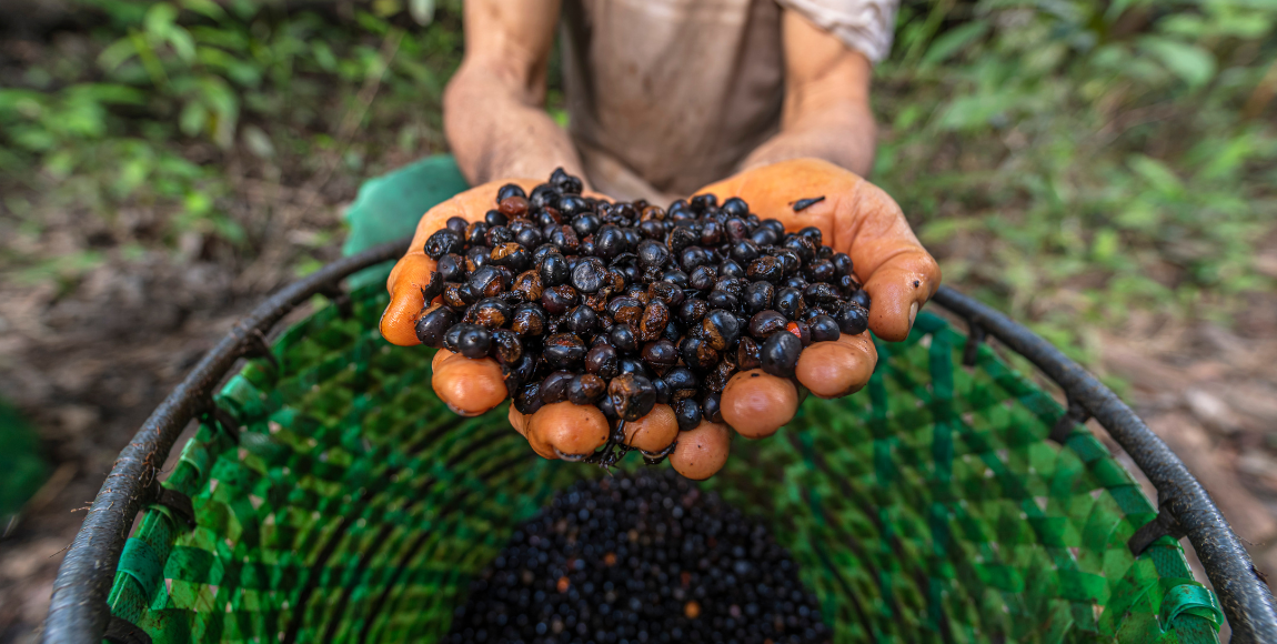
Projeto Floresta+ Amazônia repassa R$ 2,2 milhões a agricultores e agricultoras familiares que conservam a floresta
Primeiro lote de pagamentos por serviços ambientais (PSA) beneficia 217 agricultores e agricultoras que, juntos, conservam quase 12 mil hectares de vegetação nativa
Saiba mais sobre Projeto Floresta+ Amazônia repassa R$ 2,2 milhões a agricultores e agricultoras familiares que conservam a floresta
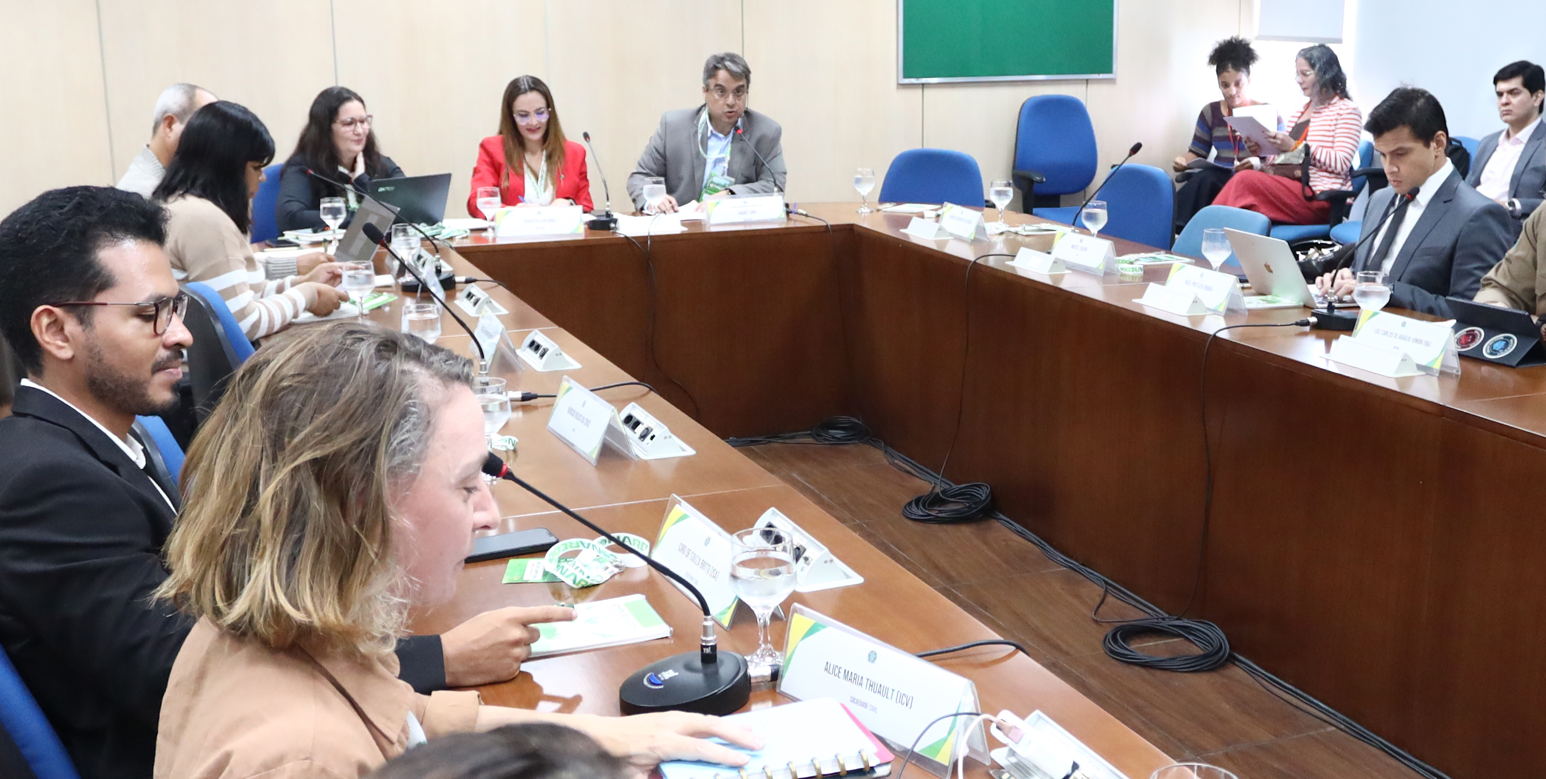
GTT Salvaguardas conclui proposta de diretrizes para implementação de programas de REDD+
Minuta seguirá para deliberação da Comissão Nacional para REDD+ (CONAREDD+), grupo presidido pelo MMA
Saiba mais sobre GTT Salvaguardas conclui proposta de diretrizes para implementação de programas de REDD+
MMA promove capacitação sobre REDD+ para servidores da Funai e ICMBio
Encontro teve como foco o fortalecimento de capacidades institucionais relacionadas à emergência climática, ao REDD+ e ao mercado voluntário de carbono florestal
Saiba mais sobre MMA promove capacitação sobre REDD+ para servidores da Funai e ICMBio
REDD+ é um incentivo desenvolvido no âmbito da Convenção-Quadro das Nações Unidas sobre Mudança do Clima (UNFCCC) para recompensar financeiramente países em desenvolvimento por seus resultados de Redução de Emissões de gases de efeito estufa provenientes do Desmatamento e da Degradação florestal, considerando o papel da conservação de estoques de carbono florestal, manejo sustentável de florestas e aumento de estoques de carbono florestal (+).
Últimas notícias

Meio Ambiente e Clima
GTT Salvaguardas conclui proposta de diretrizes para implementação de programas de REDD+


